The Trails
Guide
Maps
Miles/Ele
Permits
Resupply
Forum
Current Weather Conditions
Weather Notes
Northern High Sierras
Central High Sierras
Southern High Sierras
Gear
Gear List
Gettin Started
Layering
Discussion
Testing yourself and your gear
Gear Reviews
Backpacking
Tahoe to Yosemite Trail to the Pacific Crest Trail
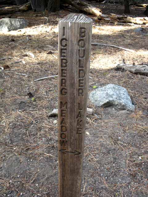
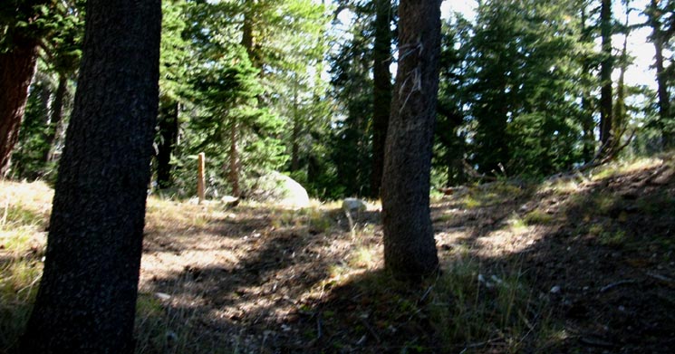
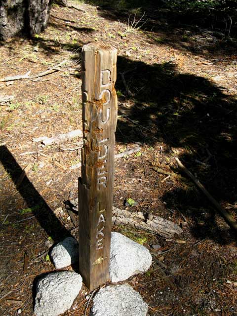
The Boulder Lake Trail
Hiking
Linking the Tahoe to Yosemite Trail and Pacific Crest Trail in the Southern Carson Iceberg Wilderness
Languages
Languages
Trail Arts
The art of walking
Physical Preperation
Trail Skills
The trail
Off the trail
Scrambling
Maps
Navigation
Camp skills
Food
Resupply
Food
Other
Photo Catagories
Trail Stories
Trail Culture
News and Science
Links
Groups
Books
Terms and Conditions of Use
| Trail Guide INDEX Highway 4 to Highway 108 |
TYT Guide North Jenkins Canyon to Boulder Lake Junction |
PCT Guide PCT Guide |
7.5 Topo Map Boulder Creek and Lake |
Lake Alpine to Saint Marys Pass |
ALL TOPO MAPS |
Resupply Resupply |
National Forest |
all maps index |
TYT Guide South Boulder Creek to Saint Marys Pass |
Boulder Creek up to Boulder Lake and on to the Pacific Crest Trail
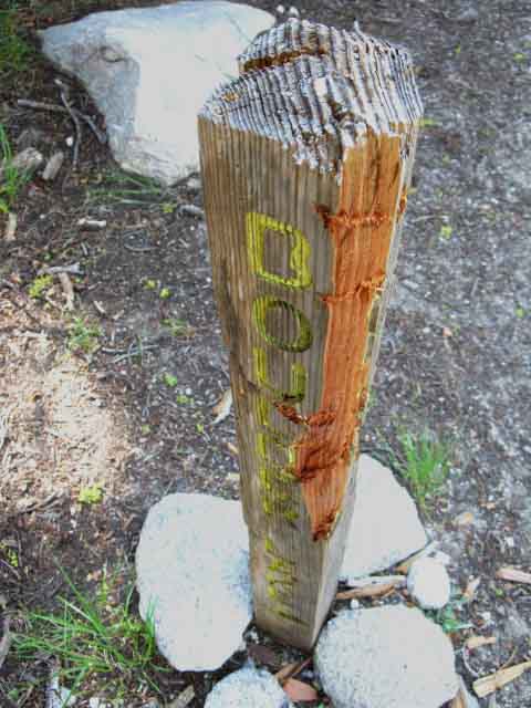
The Boulder Lake Trail Junction on the Tahoe to Yosemite Trail
|
||||||||||||||||||||||||||||||||||||||||||||||||||||||||||
| Boulder Lake TYT to PCT Map USGS 15 minute topo hiking map |
Asa Lake to East Carson River 15 minute Topo Backpacking Map |
TYT
Trail Junction on the TYT at the Boulder Creek fording point.
(Click the images above and below to go to the respective junctions on the TYT & PCT.)
PCT
Boulder Lake trail junction on the Pacific Crest Trail.
The route connecting the TYT to the PCT junctions is described below, via Boulder Lake.
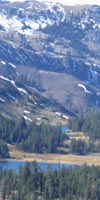
Backpacker's IndexThe Boulder Lake trail links the Tahoe to Yosemite and Pacific Crest Trails across the Southern Carson Iceberg Wilderness. It also brings us to Boulder Lake, which is a great destination in itself out of the Clarks Fork Trailhead at the end of Clarks Fork Road. Trail Location The Boulder Lake junction on the TYT is located 25.88 miles South of Lake Alpine and 8.69 miles North of Saint Marys Pass Trailhead. The miles and elevations information below locates this connector trail along the length of both the PCT and TYT and along each trail from the nearest trailheads. The maps situate this segment of trail within the Southern Carson Iceberg Wilderness. Miles and Elevations
Carson Iceberg Wilderness Road Location
|
||||||||||||||||||||||||||||||||||||||||||
Route Options Long and Short TYT-PCT Linking Trails They are, from North to South, the Highland Creek, Arnot Creek, Disaster Creek, and Boulder Lake trails. This 2.74 mile long trail from the Boulder Lake junction on the Tahoe to Yosemite Trail along the Clarks fork of the Stanislaus to the Boulder Lake junction on the Pacific Crest Trail above the East Carson River is the Southernmost and shortest of these four trails. All of these trails can be used to craft beautiful backpacking loops tying together sections of both the Tahoe to Yosemite and Pacific Crest Trails.
Loops Using Both the PCT and TYT This Southern end of the Carson Iceberg Wilderness offers some nice backpacking loop possibilities. Exciting Southern Carson Iceberg Backpacking Loops The Southbound Loop This high and hard Saint Marys Pass to Sonora Pass loop is 23 miles. We can start it from the Clarks Fork Trailhead at the end of the Clarks Fork Road or from the Saint Marys or Sonora Pass trailheads on Highway 108, depending on which direction we hike it. Carson Iceberg Wilderness Northbound Loops Continuing North on the PCT past the Disaster Creek trail brings us to Wolf Creek Pass, where we can access the top ends of both Disaster and Arnot Creek trails, as well as the Gardner Meadow Trailhead off the Highland Lakes Road. How we hike back to our starting trailhead determines the nature and length of our custom Northbound backpacking loops beginning out of the Southern Carson Iceberg Wilderness. The Carson Iceberg Wilderness really is covered by an amazing web of trails.
Loopy with Maps
Central Carson Iceberg Wilderness Loops Or we can turn Southwest at the top of the Arnot Creek Trail to return to the Arnot Creek Trailhead via Highland Creek and Jenkins Canyon. This trip runs about 25 miles. The Highland Creek Trail itself begins from the Silver Valley Trailhead on the East side of Lake Alpine near Highway 4. Starting backpacking loops out of and returning to the Silver Valley Trailhead using both the Pacific Crest and Tahoe to Yosemite Trails along with a selection of our four connecting trails can vary from between 45.25 to 79 miles, depending on where we decide to turn around and loop back to the Silver Valley Trailhead. Both the Arnot and Disaster Creek Trails link up with the Pacific Crest Trail just Northeast of Upper Gardner Meadow at Wolf Creek Pass via Lower Gardner Meadow. The Disaster Creek Trail also connects with the Pacific Crest Trail at Golden Canyon. Half-way up the Disaster Creek Trailhead to Upper Gardner Meadow a trail turns East to bend through Paradise Valley between Arnot and Disaster Peaks to connect with the Pacific Crest Trail at Golden Canyon. Hiking South from Wolf Creek Pass on the Pacific Crest Trail coming up from either the Arnot or Disaster Creek Trailheads allows us to loop back to the Disaster Creek Trail through the Pacific Valley trail at the top of Golden Canyon. We also have the option of continuing South along the Pacific Crest Trail past Golden Canyon to the Boulder Lake trail junction, where we can quickly drop Southwest off of the Sierra Crest down this short trail to the Boulder Lake trail junction and the TYT located 2.56 miles down the Clarks Fork of the Stanislaus River from the Clarks Fork Trailhead at the end of the Clarks Fork Road.
The Bottom Line These limits keep 99% of people off of these trails. Check out this 30 minute hiking topo map of the Carson Iceberg Wilderness that marks out these fantastic backpacking loops. Click the RED DOTS along the trails to see that particular trail guide page and the associated maps and miles information for that area. Click the BLACK DOT trail routes for detailed maps of that area. You can navigate these maps and guide pages North to Meeks Bay along both the TYT and PCT, or follow either trail South to Tuolumne Meadows.
|
top of page
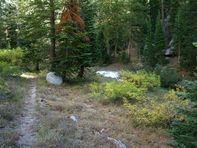
Hiking Up Boulder Creek
At The Bottom |
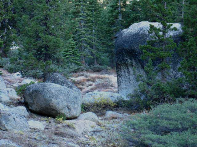
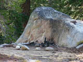
| Boulder Creek meadow and forest just above the Clarks fork of the Stanislaus River. |
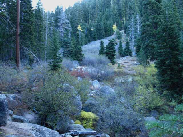 |
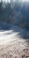
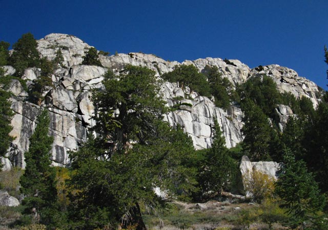
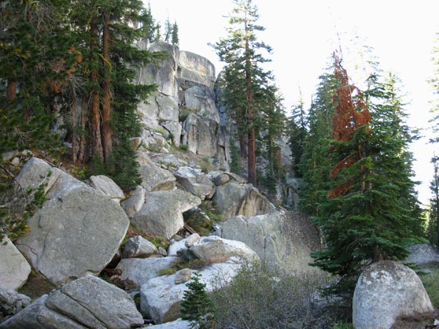
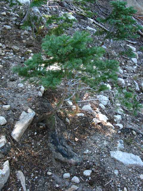
The Tahoe to Yosemite Trail crosses Boulder Creek at the Boulder Lake trail junction, but the route of the trailbed curves up along Boulder Creek. It looks as if the Boulder Lake trail is the main route, and the TYT a subordinate route, but the situation is in fact reversed. The TYT is the main route through here. Or is it? The difficulty and rough conditions along the Tahoe to Yosemite Trail route over Saint Marys Pass may well make this connector trail up to the Pacific Crest Trail via Boulder Lake the more used trail, and the TYT the less. This short trail can bring TYT hikers up to the PCT where we can hike the very well used and maintained PCT South to Sonora Pass, rather than the very difficult unmaintained route of the TYT to Saint Marys Pass. We will end up at almost the same place, with the Sonora and Saint Marys Pass Trailheads being a mile apart on Highway 108, but we will take very different routes to get there! Above we can see the brushy boulder-strewn course of Boulder Creek moving up the lowest segment of this cut in the ridge climbing Northeast away from the TYT. The Boulder Lake Trail follows the lay of Boulder Creek Northeast up this canyon. |
CLIMBING Below, even the short views we're getting of the Clarks Fork above the Boulder Lake junction are starkly shortened by the searing morning glare of the rising Sun. |
View South down at the Clarks Fork from the Boulder Lake trail. We're looking at the route of the TYT South along the Clarks Fork South of the Boulder Lake junction. The Clarks Fork of the Stanislaus and Boulder Creek intersect below our position, down in the lower-Right of the image below. |
 |
Above is the view turning around to take a look South, back across the top of the forest at the Clarks Fork below, while climbing North towards Boulder Lake. |
Rock Forest and not so much Water
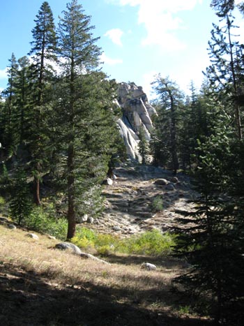
| Scenic trail and terrain up to Boulder Lake. | ||||
 |
||||
Good trail links the Clarks Fork to Boulder Lake. Routing through stable terrain allows the trail to persist without much traffic or attention from trail crews. Boulder Creek Splits into a Y where the trail steepens and bends Northwest. The other branch of Boulder Creek splitting off to the Northeast traces out a steep fold in the granite terrain up to the Sierra Crest. Along the way it picks up the Southern Cross-Country route from Boulder Lake up to the PCT. This Southern Cross-Country route intersects with the PCT through an unmarked junction South of the main Boulder Lake trail's marked junction. The map below lays out Boulder Creek's complex drainage network along this segment of the Western Flank. Boulder Lake TYT to PCT Map Our trail's route up the Northwest branch of Boulder Creek is through the fairly open West flank of the canyon finding the easiest route up between shelves and flattened areas carved by the course of Boulder Creek, and likely we can also thank an ancient glacier for the optimal grading as well.
A Backpacking trip up to Boulder Lake with three or four days of food and dayhiking gear allows a close examination of the fantastic cross-country potential around the Southern and Southeastern flanks of Disaster Peak. The map on the Left presents a detailed look at Boulder Lake between the TYT and PCT, while the map on the Right puts Boulder Lake in context with Disaster and Boulder Peaks along the Pacific Crest and nearby trails.
|
| Rock and dry meadow hiking up to Boulder Lake off the Tahoe to Yosemite Trail. |
 |
Sage, fir, pines, and granite boulders mix well here. |
| Dry tributary not feeding Boulder Creek in late October. | ||
 |
||
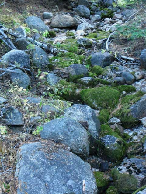
Water cuts away the surface terrain covering the underlying boulders and rock, as well as helping loosen them off the walls, and rolling them down the creeks.
|
Hiking up to the Future Past The rock rises out of its own forests and meadows. What I mean by this is that the rock of the Sierra Nevada Mountains is the mother of the forests and meadows surrounding and growing into them. We're hiking up out of the meadows and forests growing in eroded tailings that have washed off these mountains for the past few million years. Everything that grows here, and around here, grows in soils that were once this mountain range's rock. These mountains are in fact drowning, slowly sliding down into and under their own erosive tailings. As we climb higher we are rising off the surface of an ocean of soil worn and washed off these mountains themselves, these mountains that still rise so high and strong above the graveyard of their past and future fates. Dust to Dust, Baby! |
| Granite boulders up to Boulder Lake. |
 |
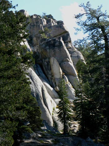
Granite emerges out of dense brush lower down the trail below Boulder Lake. To our South the Sierra Crestline is topped by the gigantic volcanic massif with Stanislaus Peak capping its North end and Sonora Pass its South. To our North we have the massive volcanic bulk of Disaster Peak, and just North of that along the Sierra Crestline is the gnarly volcanic-(some metamorphic?) features on the crestline around Arnot Peak. But ahead of us, to our East pointing ourselves at the Sierra Crestline, lays a grand segment of granite terrain along the Pacific Crest Trail wedged in-between the volcanic terrain of Disaster Peak to our North and Stanislaus Peak to our South. I'd say that those granites and that river are the crown jewels of the Carson Iceberg Wilderness. This trail is a good way in to polish the jewels. |
South up the Clarks Fork of the Stanislaus
Climbing Northbound higher up towards Boulder Lake gives an overview revealing the character of the terrain around us of the course of the Clarks Fork of the Stanislaus to our South. We see Fall colors along the Clarks Fork above where Boulder Creek converges with the main river. |
||||
 |
||||
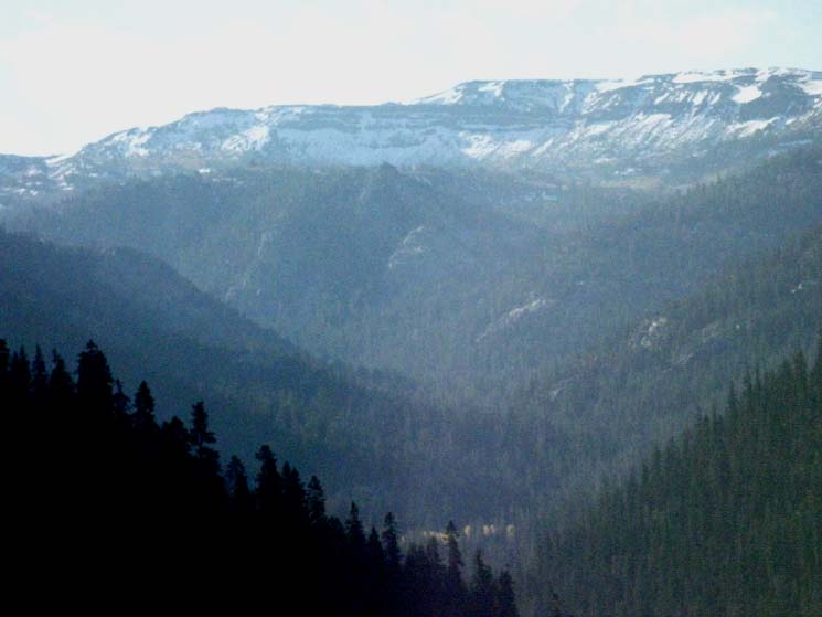
We are looking South, down at the the Clarks Fork of the Stanislaus just above where we turned up the Boulder Lake Trail junction off the TYT. Far below us a bright streak of Aspen lights up the course of the Clarks Fork River climbing South up its canyon. In the hazy distance of the center of the image we can see mountain ridges rising to converge at the headwaters of the Clarks Fork of the Stanislaus River. Let's try to cut through the haze to check out the terrain wrapping around the South flank of the Clarks fork headwaters bowl.
30 minute USGS topo map
|
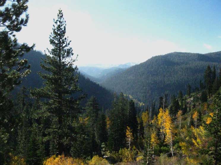
Long Views Southeast into the Upper Reaches of the Clarks Fork of the Stanislaus River
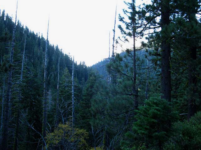
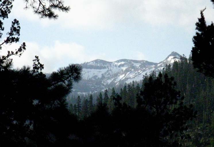
Climbing higher up Boulder Creek great views of the mountains surrounding the upper reaches of the Clarks fork of the Stanislaus River open up. We were able to observe elements of this same mountain range from select viewing spots while hiking across high spots along the Pacific Crest Trail between |
| Momentary view of the mountains above south shore of the Clarks Fork where the Boulder Lake trail intersects. | ||
 |
||
A major tributary feeding into the upper Clarks Fork River issues from the valley on the distant center-Left of the image above. This valley lays to the South of the upper segment of the Clarks Fork of the Stanislaus River. I caught this view South into the valley while climbing North to Boulder Lake.
|
An Upper Canyon feeding the Clarks Fork of the Stanislaus River
View South Climbing higher we can now see into and over this upper canyon wrapping around the South side of the Clarks Fork Headwaters. The mountains rising up Eastward towards the Sierra Crestline flatten out to form the Southern rim of the headwaters bowl of the Clarks Fork of the Stanislaus River. That is just out of our sight off the Left edge of the image below. |
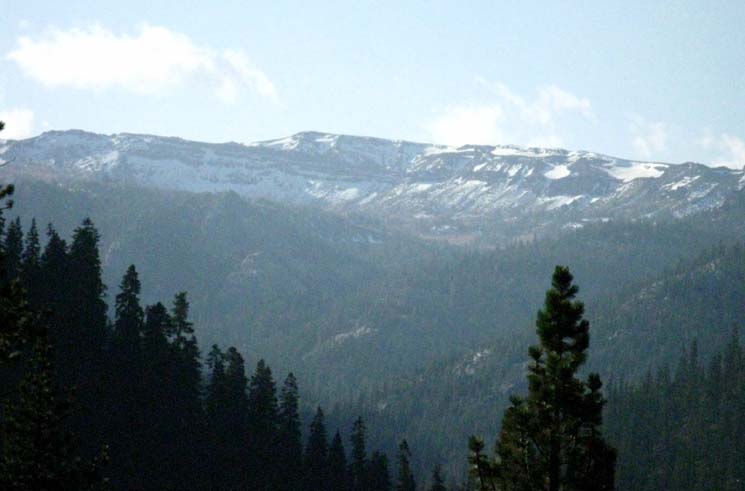 |
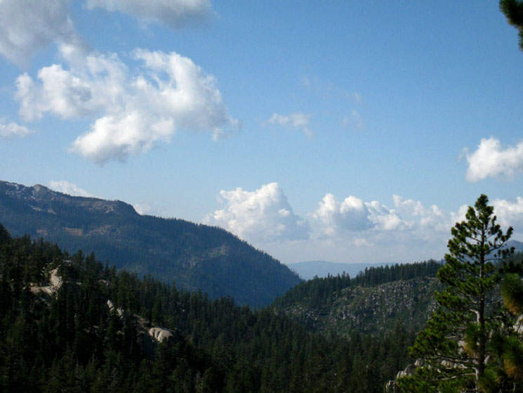
This view alone is worth the short climb up to Boulder Lake. We're looking South across the Clarks Fork into the canyon wrapping around the Southern side of the Clarks Fork Headwaters. The Clarks Fork of the Stanislaus River is flowing out of the narrow canyon we can see coming down from its headwaters on the lower Right side of the image above. Though shadowy, we can see the precipitous triangular mass on the Left side of the image at the end of the ridgeline dividing the Clarks Fork before it from the upper valley behind. The canyon in the upper center of the image bends East (Left) at the base of the mountains wrapping around it to rise up onto the Southern rim of the Clarks Fork Headwaters Bowl. Southern Carson Iceberg Wilderness The major tributary running out of this upper canyon in the center of the image feeds into the Clarks Fork in the lower center of the image. I've always thought that following this tributary South off the Clarks Fork and then East through the upper canyon around to the rim of the Headwaters bowl would be a really exciting, and potentially very difficult scramble. Though it's very difficult to exactly draw the line between the mountains wrapping around this upper canyon and the mountains beyond around Sonora Pass, the great rounded peak rising just to the Left of center along the crestline is Leavitt Peak lying to the South of Sonora Pass along the Pacific Crest Trail. |
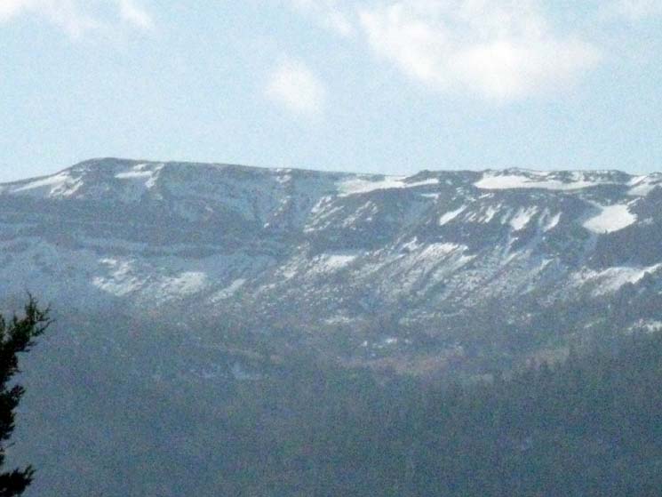
| Detail. | ||
 |
||
Great snowfields preserved through the short Summer of 2011. Though hard to differentiate, we are looking at both the Sierra around the upper reaches of the Clarks Fork and across them at the Leavitt Massif to the South. These two successive ridges rising to the crest are superimposed.
|
Clarks Fork of the Stanislaus
| Clarks fork Stanislaus River headwaters. | ||
 |
||
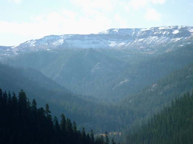
Pushing the telephoto on my rinkey-dink camera revealed the mountains around the headwaters of the Clarks Fork of the Stanislaus. The Clarks fork River works its way down the canyon to the bottom center of the image above from fold to fold along the base of the canyon floor. We can clearly see how the Clarks fork bends Left, East, between two steep ridges while the major tributary feeding it drops down from the basin in the upper Right of the image below the surrounding mountains. We can also pick out Leavitt Peak beyond Sonora Pass more clearly in the shot above, though the interface between the near and distant peaks is still very diffuse. The rounded peak rising above the center of the crestline is Leavitt Peak beyond Sonora Pass
Highway 108 works its way up to Sonora Pass on the other side of the near mountains, between them and Leavitt Peak to the South. |
| More detail of the terrain at the top of the Clarks Fork River. | ||
 |
||
Someday I'll get a real camera. Boulder Lake TYT to PCT Map
|
Climbing to Boulder Lake
| Ari climbing up the Boulder Lake Trail above the Clarks Fork of the Stanislaus. |
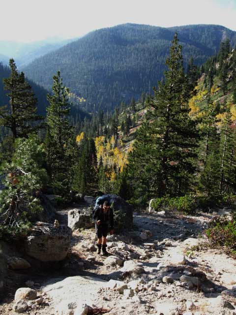 |
The Boulder Lake trail junction sits far below the short hike up here. |
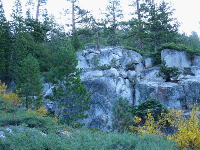
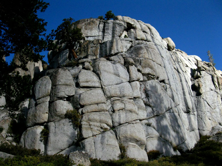
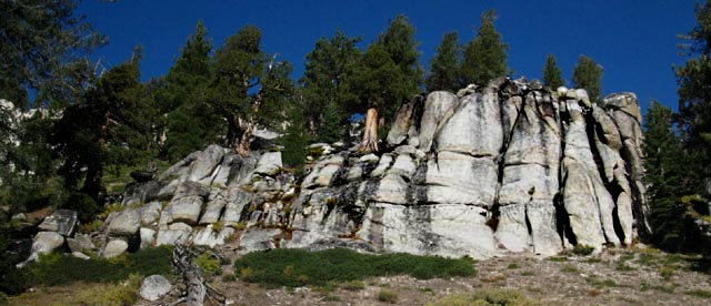
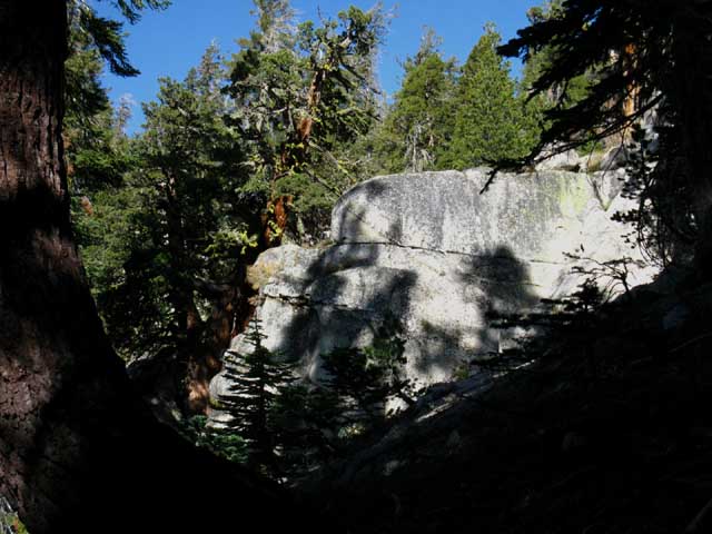
Boulder Lake Rock
Turning our attention away from the grandeur of the views of the Clarks Fork of the Stanislaus River working its way up to its Headwaters and the Sierra Mountain peaks beyond, back to the trail and terrain we are hiking North on up to Boulder Lake and the Pacific Crest Trail beyond, we notice that the size and beauty of the granite features have both increased as we approach Boulder Lake. |
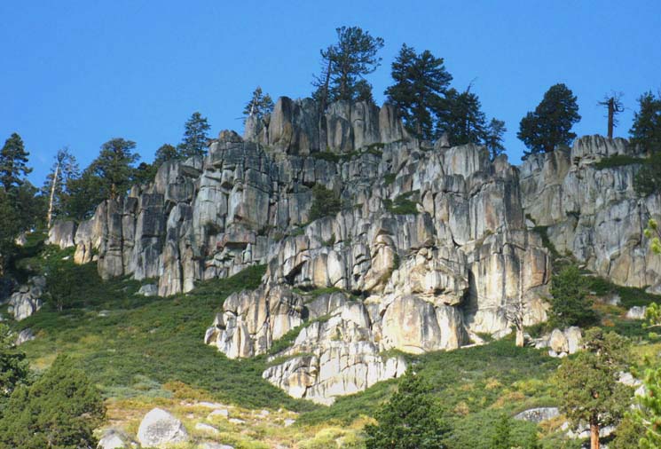
| Boulder Lake rock formation. | ||
 |
||
Black and Gold stained granite begins to give notice of the unique granites we are going to encounter on the Pacific Crest Trail along the East Fork of the Carson River. This great feature rises up on above the North shore of Boulder Lake.
|
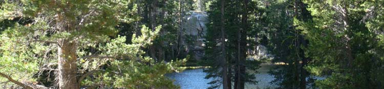
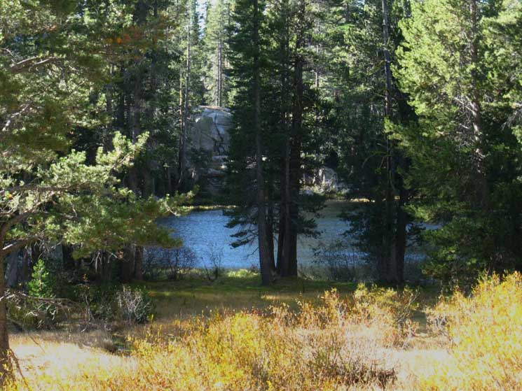
Boulder Lake
| Boulder Lake between the Tahoe to Yosemite and Pacific Crest Trails. | ||
 |
||
Boulder Lake is quiet, surrounded by a generous shaded forest flat for camping, ringed in by majestic granite formations, and having a short walk to great views of the Clarks Fork. All these things and many more make Boulder Lake an excellent place to stop for a break, camp for a day on your way past, or a good destination in itself. Note that all of the great granite features pictured below are within easy scrambling range of campsites at Boulder Lake. Boulder Lake TYT to PCT Map
|
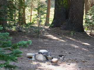
Boulder Lake Campsites
Great Granite Features between Boulder Lake and the Pacific Crest Trail
| Very fine granite bounds the North side of Boulder Lake. |
 |
I'm not a climber, but that rock looks fun. Don't worry, there's lots of lower-angle rock ahead, between Boulder Lake and the Pacific Crest Trail. |
Boulder Lake to the Pacific Crest Trail The next 1.35 miles from Boulder Lake East to the Pacific Crest Trail are really pretty. As we hike up the final bit of the tiny drainage that brings us up to the Pacific Crest Trail the trail narrows and the granite formations around us steepen into magnificent natural sculptures. Spending a night or two at Boulder Lake just to wander around the nearby granite features would be both worthwhile and really relaxing. Though this old trail route is not listed on the latest 2009 USDA Carson-Iceberg Wilderness Map, it is listed on the 1988 edition of the same map. Regardless, this route is in sufficient condition to follow as of 2011. Post your updates on trail conditions below:
The parts of the trail that go faint and disappear are no problem, as long as you stay in the little drainage that runs up to the Boulder Lake trail junction on the Pacific Crest Trail. |
Hiking East from Boulder Lake
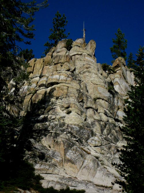
| Volcanic activity both very ancient and recent (10,000 years ago) swept over the glacial cut granites here. | Close-up of gracefully carved features. | |||||
 |
 |
|||||
The tops of great granite features poke out from a volcanic ocean like nunataks out of great oceans of ice. |
I'm really fascinated by the unceasing movements of land, liquids, and sky. |
| Fine granite towering over our trail. | ||
 |
||
We are hiking through a unique interface area between gray and black granites and the gold and gray granites that characterize the East Carson River. Boulder Lake TYT to PCT Map
|
| Granite blockhouse along trail. |
 |
| Note the patterns emerging from thousands of years of weathering. This block has both black and gray staining with golden areas thrown in for good measure. The size of this free-standing block is hard to gage. |
| Detail of the Juniper growing on the great granite feature above, East of Boulder Lake. |
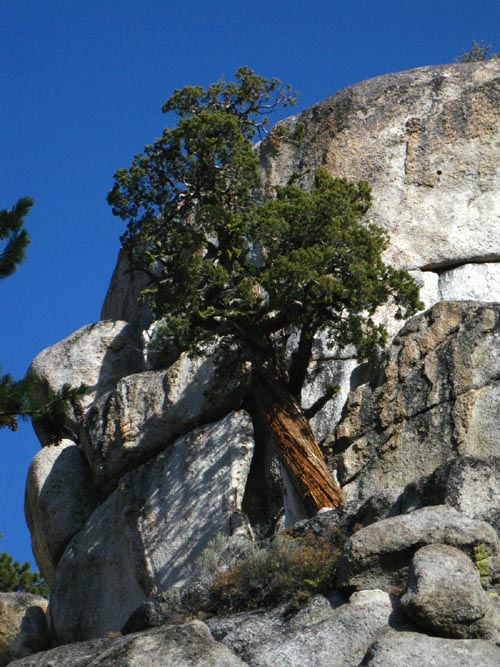 |
This huge juniper tree gives some idea of the size of this block of rock. This place is so fun. We have miles of scrambling over the granite maze of terrain between Boulder Lake and the PCT. Though we are pointing East to the PCT, the potential in Northern directions is obvious. |
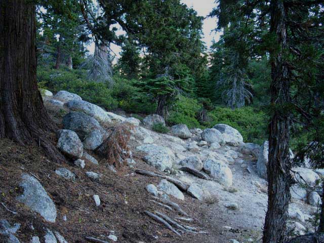
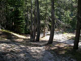
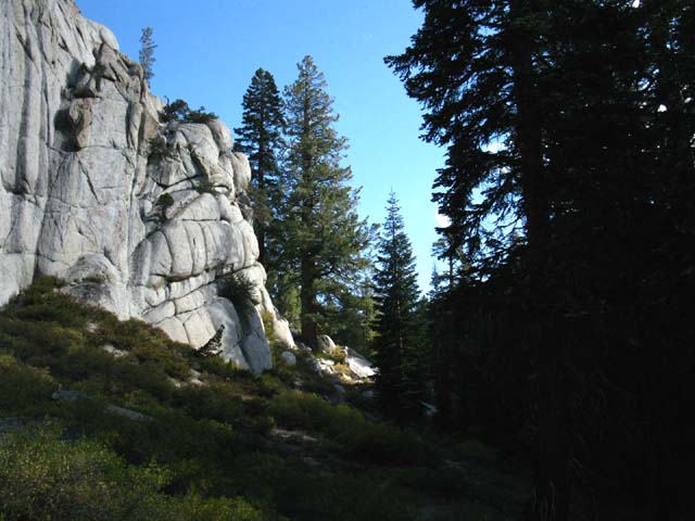
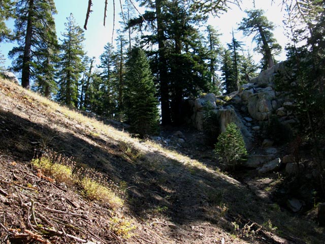
Trail and Terrain
| Trail East around the side of this rock feature fades, but the route is clear. | ||||
 |
||||
The old map also defines another trail up to the Pacific Crest Trail to the South of this route. Remember where the trail up to Boulder Lake split off to follow the Northwest branch of Boulder Creek up to Boulder Lake? From Boulder Lake we can move Southeast to traverse the rock face over into the ravine where we meet the other branch of Boulder Creek, and follow it up to an unmarked and unmaintained junction with the PCT. This Southern route intersects with the PCT where the black pond along the PCT sits. There are no marked or visible trail junctions for this Southern route at either Boulder Lake or on the PCT. Looking at the terrain from Boulder Lake reveals both routes as options through the terrain for hiking up to the PCT, but the Southern route looks appreciably harder than the Northern route. I've only hiked the Northern route up to the marked trail junction on the PCT as described here, so post up information on this even more diffuse route:
We can see the both routes marked on the USGS 7.5 topo map, but I can tell you only the Northern route is marked by a trail junction, and has visible segments of trail to follow. I figure the Southern route from Boulder Lake to the PCT is fainter than the Northern. I have not attempted to hike the Southern route, but I have repeatedly observed the location at the dead pond and could see no trail, no junction, and no indications of either. If you are an expert route finder you should have no trouble running the Southern route between Boulder Lake and the PCT without getting yourself lost. If you are not comfortable and experienced with cross-country travel and in reasonable fitness you should stay on the maintained trails. Boulder Lake TYT to PCT Map
|
I love the Tight Places
| The trail twists through a narrow spot between forest and rock. |
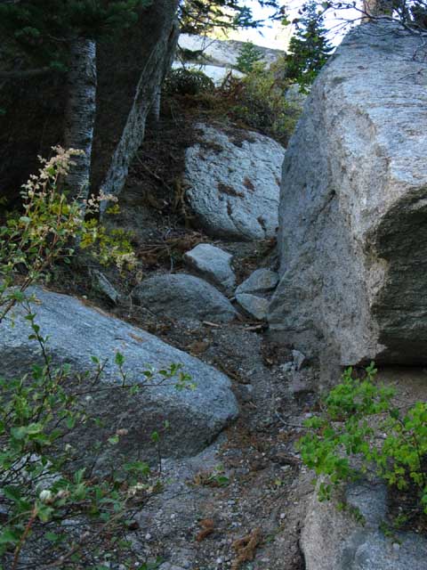 |
Note that the distant terrain is making a "V" up this drainage towards our rendezvous with the Pacific Crest Trail. Just follow the best route through the narrowing lay of the land and we'll be fine! |
| Another granite rock wall rises to our North. | ||
 |
||
The massive pile of rock at the foot of this wall testifies it was taller in the past, and it will continue to disassemble itself into the future.
|
Funneling into the top
| The trail between Boulder Lake and the Pacific Crest Trail gets a bit brighter in this little bottleneck along our route up. |
 |
The trail surface and trail condition testified that it was virtually un-hiked during the Summer of 2011. |
| Another granite nunatak rises nearby. | ||
 |
||
The section of trail between Boulder Lake and the PCT is easy on the eyes.
|
High Altitude Forests
| Forest, rock, and a nice section of trail. |
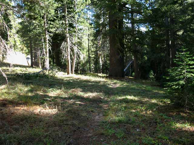 |
Shade too. |
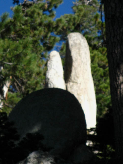
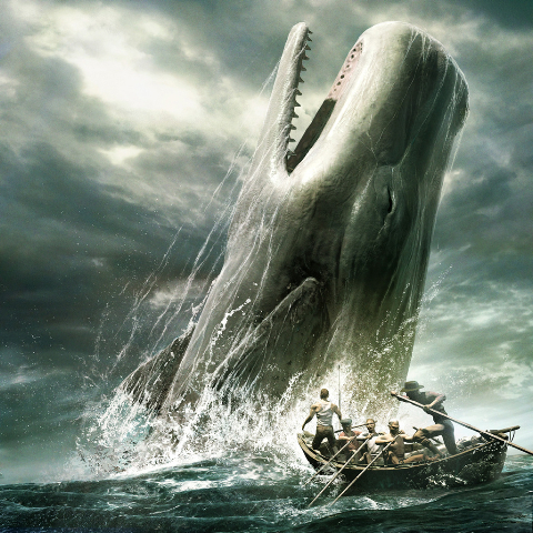
Great White Granite Whale
| Granite as a Great White Sperm Whale whale breaching. | ||
 |
||
Moby Dick Rock. Is this the whale that ate the gold and silver rushes?
|
Angle of Ascent Increases nearing the Pacific Crest Trail
| Flat granite ledge next to climbing trail. |
 |
Morning light just touching the Western Flank below the Boulder Lake trail junction on the PCT. |
Eastbound
approaching the
Pacific Crest Trail
We can see the Sierra Crestline. Boulder Lake trail narrows below its junction with the Pacific Crest Trail. |
||
 |
||
Approaching the Pacific Crest Trail.
|
Life at the Top
| Sapling firs grow along the route below the Pacific Crest Trail. |
 |
The trail grows faint on the washed out slope below our junction with the Pacific Crest Trail. |
Pacific Crest Trail junction with Boulder Lake Trail
| Boulder Lake trail junction on the Pacific Crest Trail junction comes into view. |
 |
The trail junction is between the trees on the left of center. |
Boulder Lake Trail Junction along the Pacific Crest Trail
The Boulder Lake Trail Junction Elevation
Pacific Crest Trail
|
| Boulder Lake trail junction on the Pacific Crest Trail. |
||
 |
||
Which way does your hike go from here on the PCT? Boulder Lake TYT to PCT Map
|
View of the hike between the Clarks Fork and the PCT via Boulder Lake
SOUTHWEST VIEW The way we came up from TYT at Clarks Fork to the PCT. Boulder Lake's canyon below the PCT down to the TYT. |
 |
The Clarks Fork of the Stanislaus River runs around the nose of the third and biggest ridge out from our position. The Clarks Fork runs between the noses of the second and third ridges in the center of the image. Boulder Creek runs down between us and the first ridge down to Boulder Lake, then between the first and second ridges down to the Clarks Fork. And that's the way we came up to the PCT from the TYT. |
Hiking the
Pacific Crest Trail
Guide Information
Maps, Miles, Elevations, Permits, and Resupply
| Trail Guide Index Highway 4 to Highway 108 |
PCT North Murray Canyon to Boulder Lake Junction |
PCT South Boulder Lake Junction to East Carson Junction |
7.5 Topo Map Boulder Lake to Sonora Pass |
30 min Map Ebbetts Pass to Sonora Pass |
Ebbetts Pass to Sonora Pass MILES AND ELEVATIONS |
ALL TOPO MAPS Ebbetts Pass to Sonora Pass |
Resupply North Lake Alpine Resupply South Kennedy Meadows |
National Forest Toiyabe PERMITS |
Weather | all maps index |
The link bar across the top of the page above accesses Tahoe to Yosemite Trail Information.
North PCT: Murray Canyon to Boulder Lake Jnct West: TYT @ Clarks Fork South PCT: Boulder Lake Jnct to East Carson
Tahoe to Yosemite |
||||
Lake Alpine to Saint Marys Pass Boulder Lake is a nifty place and a great way to connect the Tahoe to Yosemite and Pacific Crest Trails across the Southern Carson Iceberg Wilderness. Boulder Lake can be a destination, part of a Carson Iceberg Wilderness backpacking loop, or used by TYT hikers to bypass the difficult unmaintained segment of the TYT through the upper Clarks Fork.
|
Backpacking Trail Guide North Murray Canyon |
Backpacking Trail Guide South to East Carson River Junction |
note: my trail guide runs North to South. If you are hiking South to North start at the bottom of each page...
Backpacking Trail Guide North Jenkins Canyon |
Backpacking Trail Guide South to Saint Marys Pass |
Backpacker ForumsThe backpacker's forums are divided into trail and topics.The page above links mostly to the trails forums, where we hope you help keep the guide up to date. But there is also the backpacking topics forum, where we cover a wide variety of important backpacking topics.So if you have something to say about trails or backpacking specifically or in general, please... Post it on
|
Trailhead
Contact
Alex Wierbinski

Backpacking Lake Tahoe to Mount Whitney
Your Guide to the High Sierra Crest, including the Tahoe to Yosemite, Pacific Crest, and John Muir Trails
