Lake Tahoe to Mount Whitney
Tahoe to Whitey
High Sierra Backpacking Magazine
A
TEST of CONCEPTS
We Cover
THE LATEST
HIGH SIERRA BACKPACKER
&
WILDERNESS NEWS
| High Sierra TRAIL News |
High Sierra GENERAL News |
High Sierra SAFETY INCIDENTS |
High Sierra SAFETY TOPICS |
Health News |
Skeeter News & FACTS |
An Eye on Nature
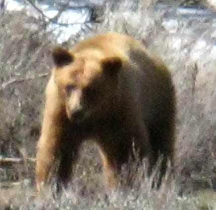
| Water | Birds | Bees | Bears | Trees |
Then,
High Sierra
&
Typical
HIGH SIERRA BACKPACKING TOPICS
| All High Sierra History & Monumnets |
High Sierra Art & Letters |
News
from
Man & Nature
| Hard Sciences News |
Climate News |
Geo News |
ALL NEWS |
all backed up by
our
Tahoe to Whitney
High Sierra Trail Guide
&
our
HIGH SIERRA NEVADA MOUNTAIN RANGE
Backpacking
Trails, Topics,
&
All High Sierra Backpacker
NEWS
Let's Begin today's review with View and a Quote
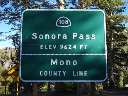
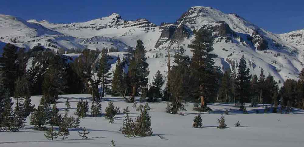
Leavitt Peak
Quote
THE Al Says...
|
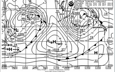
Current Conditions on the Sierra Crest
High Sierra Backpacker's Calendar
The High Sierra Magazine
Current
SUPERCEEDED: This PAGE Superceeded by
Keep Up With Our |
| on the Tahoe to Whitney High Sierra Magazine Looking Forward by Looking Back |
|
THE HIGH SIERRA BACKPACKER'S MAGAZINE This is a Test Page figuring out
TOPICS WE ARE TESTING
These will be executed through the .org site, which is destined to become the |