

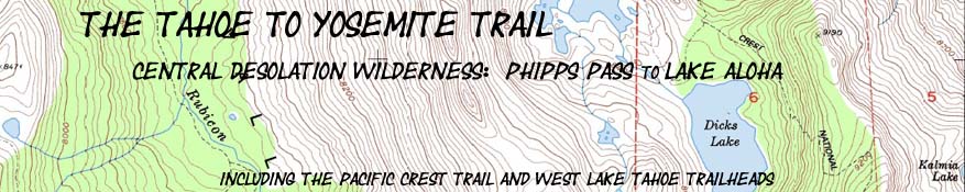
Phipps Pass to Lake Aloha
Hiking Map
Backpacking Map
of
Tahoe to Yosemite and Pacific Crest Trails
across
Central Desolation Wilderness
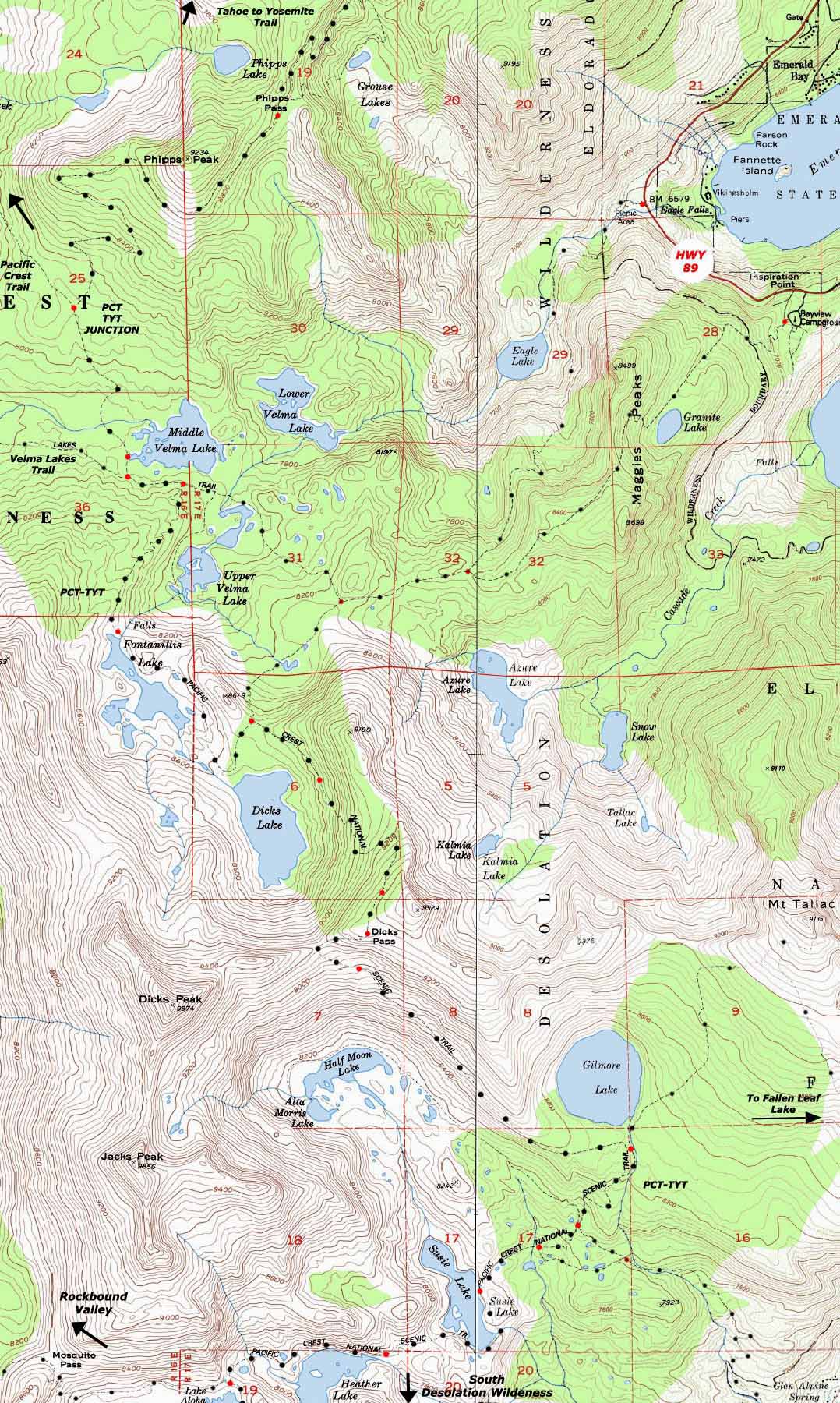
Two 7.5 minute USGS Topo Hiking Maps of the Central Desolation Wilderness
ACCESSING
Rockbound Valley & Emerald Bay
Maps Index |
7.5 min |
7.5 min TYT-PCT |
Miles Meeks |
Miles |
Trail Guide |
30 minute |
Click |
WEATHER Desolation |
RESUPPLY |
PERMITS |
|
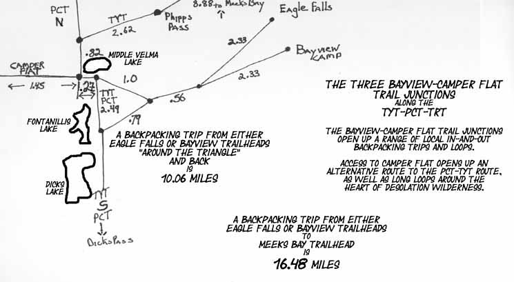
Central Desolation Wilderness Backpacking Map
12.28 miles
Backpacking Map of the TYT from Phipps Pass to Lake Aloha
showing
Eagle Falls and Bayview Trailhead Access to the East
Camper Flat to the West
| North Desolation MAP Meeks Bay to Dicks Pass |
Click Labels |
SOUTH Desolation Wilderness MAP Middle Velma Lake to Echo Summit |
|
| North Desolation MAP Meeks Bay to Dicks Pass |
SOUTH Desolation Wilderness 7.5 map Middle Velma Lake to Echo Summit |
MAP NOTE What's important for our general reference purpose is that each side of a square is 1000 meters, or a Kilometer. From my point of view that is 1093 yards or .62 of a mile. Diagonal: 1414.22 meters, if my trig is correct. That converts into 4,639.8 feet or .88 of a mile.
|
Desolation Wilderness Mapping Information, Miles, and Elevations |
||
Phipps Pass to N Side Aloha Lake
|
USGS Map Information West Map East Map Compass Offset scale Contours * * *Backpacking Permitting Authority Lake Tahoe Basin Management Unit Lake Tahoe Basin Management Unit
National Forest LTBMU
Wilderness Area: Desolation Wilderness, TahoeWhitney Desolation Wilderness, the feds.
Physical location: Desolation Wilderness Region Map
Tahoe to Alpine Trail Guide Index Meeks Bay trail head
|
|
 |
||
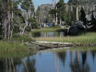
Middle Velma Lake in Desolation Wilderness on the Pacific Crest and Tahoe to Yosemite Trails.
Download Free USGS Topo MapsINSTRUCTIONS 1>Locate the position you need a map for on the google map. 2>CLICK the MARK POINTS mode. 3>Select the size of MAP FOOTPRINTS you wish to see. 4>CLICK the Map Footprint you want to down load. This will leave a red marker on that map footprint. 5>CLICK the red marker, and the maps available for you to download will appear. 6>Select and download the map you need. NOTE: These are "GEO Maps" that load in Adobe Reader with many cool functions. If you want to manipulate and print custom sections, you must first load the map into MS Paint before it can be manipulated in PhotoShop.
* * * |
||
North Desolation Wilderness 7.5 map: Meeks Bay to Dicks Pass South Desolation Wilderness 7.5 map: Dicks Pass to Lower Echo Lake
North 7.5 detailed map: Genevieve Lake to Phipps Pass South 7.5 detailed map: Lake Aloha
| Elevations | More Information | |
Phipps Pass Middle Velma Lake Dicks Pass Susie Lake |
Trail Guide, Section Trail Guide, Segment Google Road Map |
|
This trail guide began at the
Meeks Bay Trailhead