The Trails
Guide
Maps
Miles/Ele
Permits
Resupply
Forum
Weather Conditions
Weather Notes
Northern High Sierras
Central High Sierras
Southern High Sierras
Gear
Gear List
Gear Forum
Gettin Started
Layering
Testing yourself and your gear
Gear Reviews
The Tahoe to Yosemite Trail
Backpacking
The Desolation Trail's 1st Trail Junction to High Open Spot
Traversing the Ridge
Translate
Languages
Trail Prep
The art of walking
Physical Preperation
Planning
Trail Skills
The trail
Off the trail
Scrambling
Maps
Navigation
Camp skills
Food
Resupply
Food
Other
Photo Catagories
Trail Stories
Trail Culture
News and Science
Links
Groups
Books
Terms and Conditions of Use
| Trail Guide section index |
North |
South TYT Desolation Wilderness |
Topo Backpacking Map Meeks Bay to Dicks Pass |
Miles & Elevations Meeks Bay to Echo Lake |
Miles Index |
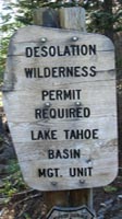
PERMITS Lake Tahoe Basin Management Unit |
All Permits |
All |
Traversing the ridge towards Lake Genevieve
Trail Junction
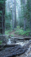
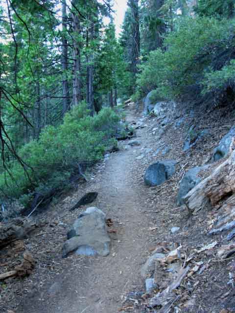
Meeks Bay to Echo Summit Overview Gently Rising forested Terrain. Passing Right through the road junction onto the trail we have climbed away from the edge of dry meadow onto a gently rising ridge traverse to the Southwest. We departed the sun exposure and sandy surface along the edge of the meadow for harder trail under our feet, and forest cover over our heads. These cooler conditions are offset by the heat we generate hiking up the incline of the trail up this long traverse along the side of this low ridge arm. We are hiking Southwest towards where the trail cuts a sweet "S" turn, passing through a twisting wrinkle of terrain in-between the converging ridge arms holding elevated vale at the top of this strangely shaped set of ridges. Passing through this nifty wrinkle between the ridges we emerge just below Lake Genevieve.
|
Video
Tahoe Basin Forest approaching Desolation Wilderness
Video: Traversing the ridge past the 1st Desolation Trail Junction, Sept. 15, 2009. Duration 1:25.
Backpacking Along the Ridge: Terrain
 |
| Traversing the Ridge Above Trail Junction |
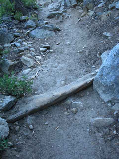 |
Wood Trail Work. Rare along the length of the trails between Tahoe and Whitney, except for the LTBMU and parts of the El Dorado National Forest. |
Mad Squirrel
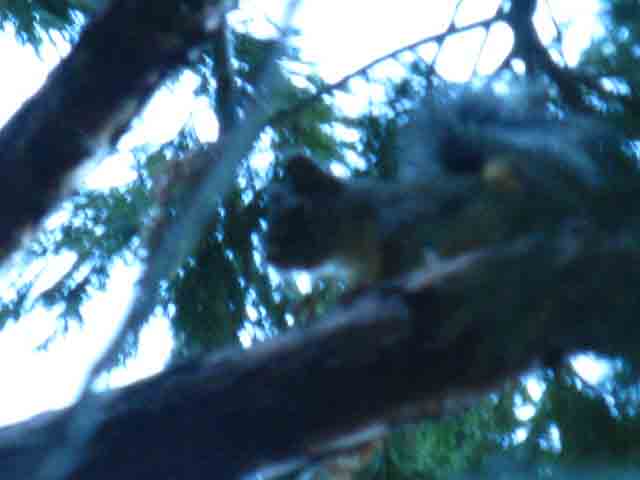 |
This squirrel was mad as hell at me, and was giving me endless crap. He started giving me shit from 25 yards away, as I approached. He was even more unhappy when I reached his tree and stopped, pulled out my camera, and started playing "shoot the mad squirrel." It was on. The Mad Squirrel would run out, scream violently at me, and then run and hide from the camera, and then do it again. Little bastard cracked me up. |
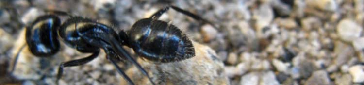
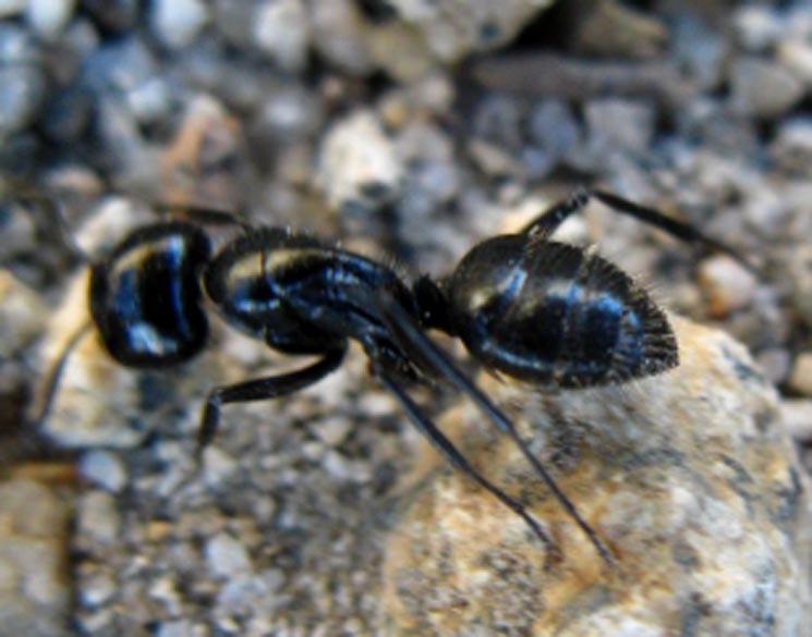
Big Black Ant
Last page: Desolation Trail Junction Next page: entered Desolation Wilderness
Up to the Flat wedged into the Ridgeside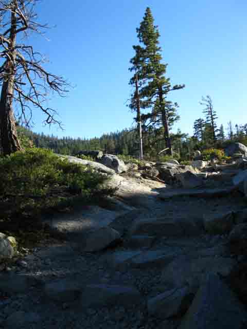 |
Looking Southeast as we are cresting the low ridge before reaching the Desolation Wilderness Boundary. We can see the ridge arm from the other side of this little valley cut by Meeks Creek coming up and over to meet our route. We will hike over to the little peak at center as we approach the nifty "S" turn through the ridges. We will hike at roughly our present elevation until we loop around the head of the valley to follow the trail's "S" turn climbing up and around that low peak on a gentle climb up to Lake Genevieve. |
Exposed High Point on the Ridge
Meeks Bay Towards the head of valley we cross an exposed section of trail just before we enter the Desolation Wilderness proper. Elevation Mileage 2.67 miles to Lake Genevieve. 7.16 miles to Phipps Pass. |
|
That very well may depend on just how far you are hiking on this backpacking trip, which determines how much food you are carrying, which is a big factor determining how much your pack weighs. Climbing to the top of this first ridge does not give you much of a view. Great overviews come a bit further down the trail. We're going to enter a narrowing channel between converging ridge arms holding a little temperate zone. Sweeping views do not give us a view of how you are doing and how you are responding after carrying your pack up this little ridge arm. Adjust your pace to suit how you feel. Don't hurt yourself over the first miles. Relax! My rule is to stay within my capacities. It's good if you are feeling strong and fast, but don't spend it all the first day in a burst of natural enthusiasm. If you are feeling ragged, then slow down, and in every instance, "Stay within Yourself." |
Backpacking North |
Backpacking South |
Backpacker Forums Post it on Above we come to the Front Page of the High Backpacking Trails and Topics Forums. Below we break the forums down into categories:
Anyone can post text comments in the existing forums, but only members can post up new topics, along with images, maps, and formatting. If you have experiences, comments, questions, trip reports, trail conditions updates or pictures and videos of the Tahoe to Yosemite/Pacific Crest Trail from Meeks Bay to Echo Summit, post up here as an unknown hiker or as a member: Section
|
North: Desolation Trail Junction South: Entering Desolation Wilderness
Trailhead
Contact
Alex Wierbinski

Backpacking Lake Tahoe to Mount Whitney
Your guide to the High Sierra Crest, including the Tahoe to Yosemite, Pacific Crest, and John Muir Trails
