

Pyramid Peak

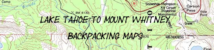
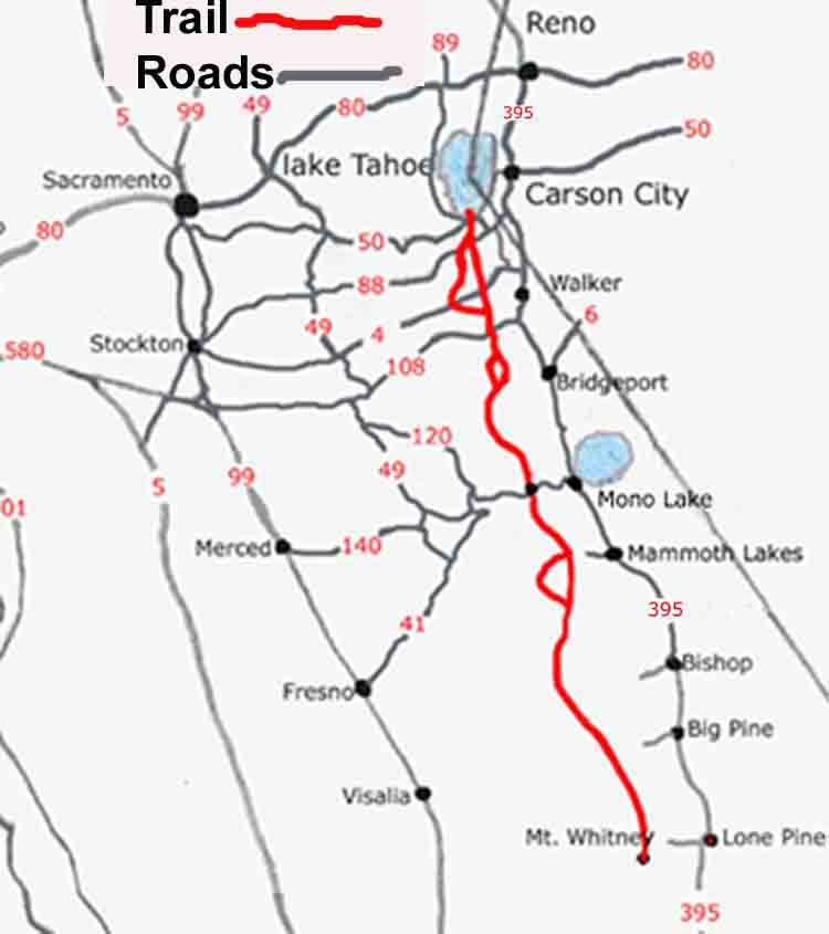
Lake Tahoe to Mount Whitney on a Map

Mount Whitney on a Map
back to previous page
back to Maps Index
 |
Main Feature(s):
Map Name: California with Lake Tahoe to Mount Whitney Trails Detail
Backpacking permitting authorities
Starting from Lake Tahoe: Lake Tahoe Basin Management Unit
Starting from Mount Whitney: Whitney Portal
Physical location: California, USA
scale: Hand Drawn
trail mileage: Between 420 and 470, depending on the route
base elevations
Lake Tahoe: 6226 feet
Mount Whitney : 14, 500 feet
Trail Guide, Sections: All, see Trail Index
Trail Guide, Segment: All
Google Map, Region
Map Credit: U.S. Geological Survey, Department of the Interior/USGS
(use search term "XXX," and "Address" search type to locate this USGS map)
USGS Topographic Map Information
next map previous page last map
Comments on this