The Trails
Guide
Maps
Miles/Ele
Permits
Resupply
Forum
Current Weather Conditions
Weather Notes
Northern High Sierras
Central High Sierras
Southern High Sierras
Gear
Gear List
Gettin Started
Layering
Discussion
Testing yourself and your gear
Gear Reviews
Backpacking
Blue Lakes Road
to the
Mokelumne Wilderness Boundary
Hiking the Pacific Crest Trail between Carson Pass and Ebbetts Pass in the Toiyabe National Forest
Languages
Languages
Trail Arts
The art of walking
Physical Preperation
Trail Skills
The trail
Off the trail
Scrambling
Maps
Navigation
Camp skills
Food
Resupply
Food
Other
Photo Catagories
Trail Stories
Trail Culture
News and Science
Links
Groups
Books
Terms and Conditions of Use
| Trail Guide Index Carson Pass to Ebbetts Pass | North Forestdale Divide to Blue Lakes Road | South Mokelumne Wilderness Boundary to Raymond Lake | Topo Map Blue Lakes to Upper Sunset Lake | Big Topo Map Carson Pass to Ebbetts Pass | Topo Map Index Carson Pass to Ebbetts Pass | Carson Pass to Ebbetts Pass MILES AND ELEVATIONS |
MILES AND ELEVATIONS INDEX | National Forest Humboldt Toiyabe NF | Tahoe to Whitney on YouTube |
Blue Lakes Road
to the
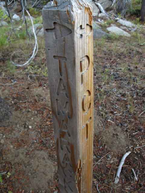
Tamarack trail junction
and
shortly after, to Tamarack Lake
| BLUE LAKES ROAD Looking South across the Blue Lakes Road at the Pacific Crest Trail |
||
 |
||
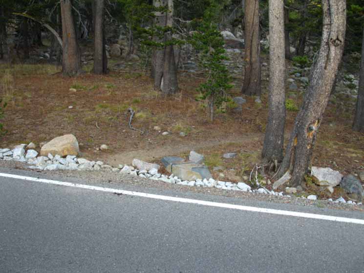
The Pacific Crest Trail South across Blue Lakes Road.
It's anti-climatic. |
Weather
Point Forecasts Nat Weather Service Nat Weather Service |
Regional Forecasts NWS |
| All High Sierra Weather Resources |
|
| Real Time Ground Reporting Stations | |
All Ground Reporting Stations |
|
Road Conditions |
|
Big View: Radar |
Big View: Space |
Blue Lakes RoadElevation 10.65 miles South of Carson Pass 17.23 miles North of Ebbetts Pass Tamarack Lake RoadHiking a tenth of a mile South of the Blue Lakes Road we encounter a junction sprouting a trail leading to our Right, South to the Tamarack Trailhead. The road out to the Tamarack Trailhead is located a short ways down Blue Lakes Road where we crossed it on the Pacific Crest Trail. The dirt road to the Tamarack Trailhead continues South from the Tamarack Trailhead paralleling the course of our PCT route, but along the South shores of Tamarack, Lilly Pad, and Summit Lakes. This dirt road ends on the East side of Wet Meadow Reservoir.
.75 of a mile South of this trail junction to the Tamarack Trailhead along the Pacific Crest Trail backpackers encounter the creek draining East from Tamarack Lake. Tamarack Lake is an eight-mile up this creek to our right, to the West. This creek dies during late Summer of dry years. Tamarack LakeElevation 11.49 miles South of Carson Pass 15.61 miles North of Ebbetts Pass |
Tamarack Lake
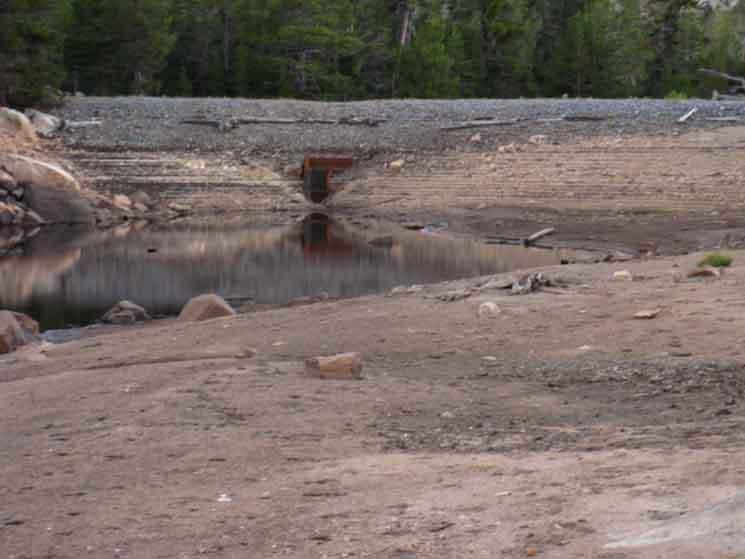
| Tamarack Lake Earth and Gravel Dam. | |||
 |
|||
| Tamarack Lake at very low level in September of 2009. This low water year was followed by the Winter of 2009-10, which produced significant late Spring snowfalls. | |||
|
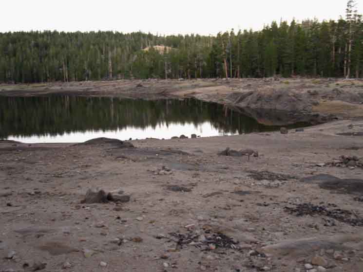
Tamarack Lake
| Tamarack Lake, September 2009. |
 |
Always consider water conditions when planning your backpacking trip to the High Sierras. |
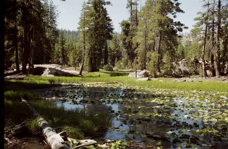
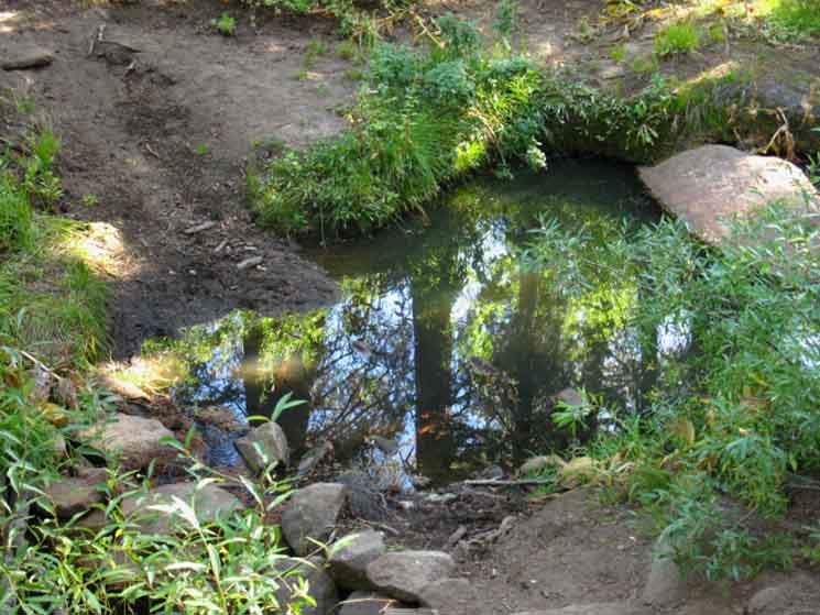
| South of Tamarack Lake the Pacific Crest Trail winds past a series of pretty little lakes. |
| The unnamed lake just South of Tamarack Lake. |
 |
Unnamed lake East of Pacific Crest Trail a short ways South of Tamarack Lake. |
 |
||
Lilly Pad Lake.
|
Well Worn Unmarked Junction
| Unmarked trail junction near Upper Sunset Lake |
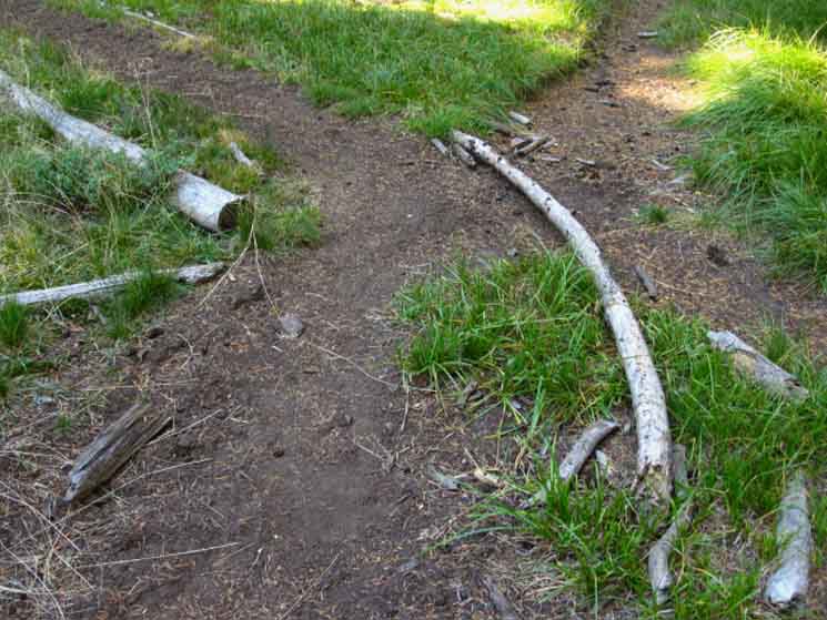 |
Informally marked trail junction. The stick is used to keep hikers on the main route from hiking off on a side trail. The trail to the Left is the Southbound Pacific Crest Trail bending to the Northeast by the compass here. The trail on the Right leads East to the dirt road from the Tamarack Trailhead to Wet Meadow Reservoir. Blue Lakes Road to Raymond Peak Map |
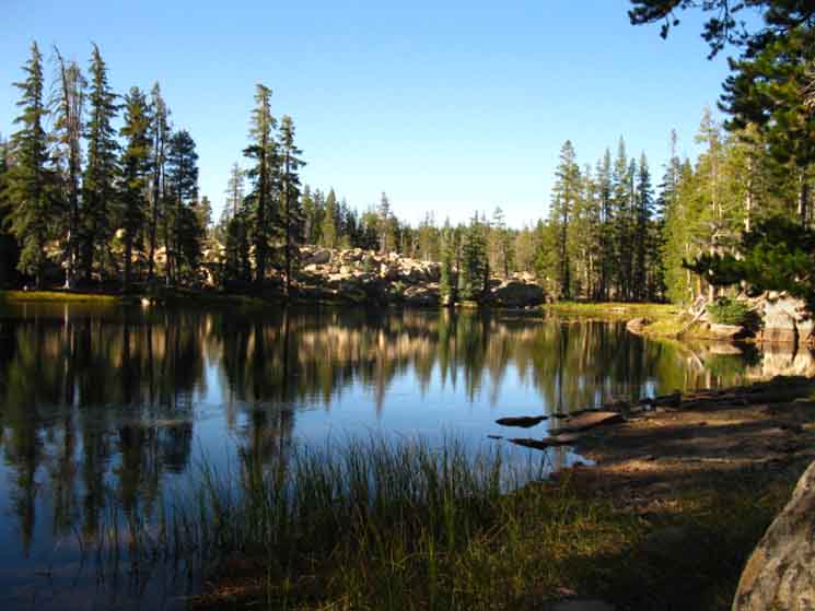
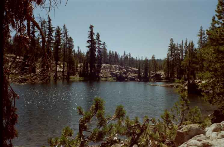
Upper Sunset Lake
| Upper Sunset Lake, 2009. | ||
 |
||
Sweet Reflective Surface!
|
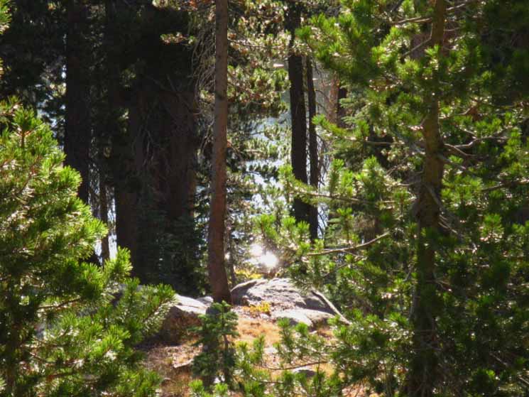
Upper Sunset Lake
| Upper Sunset Lake, 1999. |
 |
Sweet Sparkling Sunlight! I've come to the conclusion that things don't "change" in the Sierra Nevada, but they are just passing through infinite expressions of beauty. |
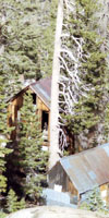
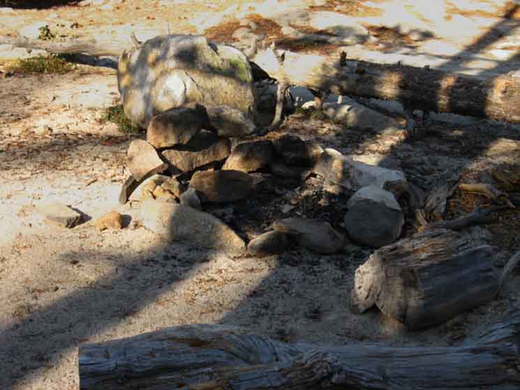
From Tamarack Lake to Wet Meadows Reservoir we see indications of the difference between National Forests and Wilderness Areas.Motorized vehicles can make it in on the dirt road to Tamarack Lake from Blue Lake Road out to Wet Meadow Reservoir. The whole stretch of lakes from Tamarack to Wet Meadows Reservoir is carefully cut out of the Mokelumne Wilderness. At the places vehicles can get access you will find trash, beer cans, and cigarette butts. At the places where there is more auto access you will also find heavily used trails. This explains all the unmarked trail junctions we are momentarily perplexed by approaching and passing Blue Lakes Road. Check out the Car Camping Forum. The main Pacific Crest Trail was well defined by strategically placed branches and rocks blocking the local side routes. |
Campsite
| Campsite near Upper Sunset Lake. |
 |
Lots of campsites here, at all the lakes. |
Low hill over to Wet Meadow Reservoir
| Trail Climbing gently South from Upper Summit Lake around a low rise towards Wet Meadow Reservoir.. | ||
 |
||
This trail shortly joins the dirt road.
|
Coming to the End of the Road
| Old dirt Road spur off the main track to the East of the Sunset Lakes. | ||
 |
||
We pick up the spur road out to Upper Sunset Lake for a few feet before our trail flips Southeast to pass by the North shore of Summit Lake.
|
Creek From Summit Lake
 |
Tranquility. |
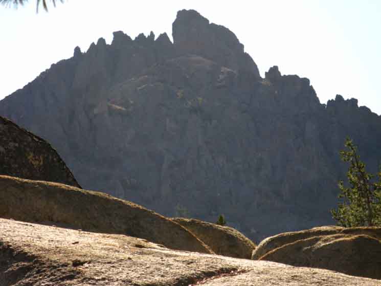
The Cylinder
 |
||
We're hiking Northeast up from the North side of Wet Meadow Reservoir to get up on the Northeast Flank of Raymond Peak. This puts "The Cylinder" immediately to our East, towering above us when we can see it through forest cover and over intervening terrain features.
|
Little Pond to Our North
| Almost dried out pond North of Wet Meadow Reservoir. |
 |
Late September. |
Firrific
| Fir Tree full of cones. |
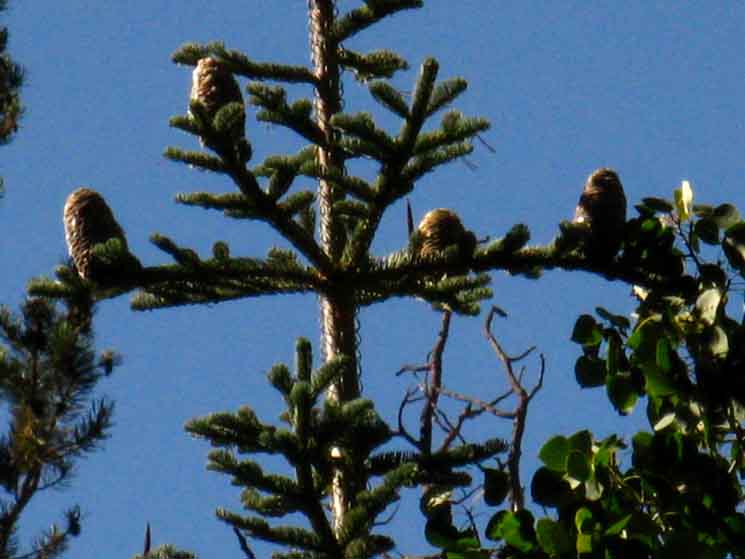 |
Small Fir-Big Cones. |
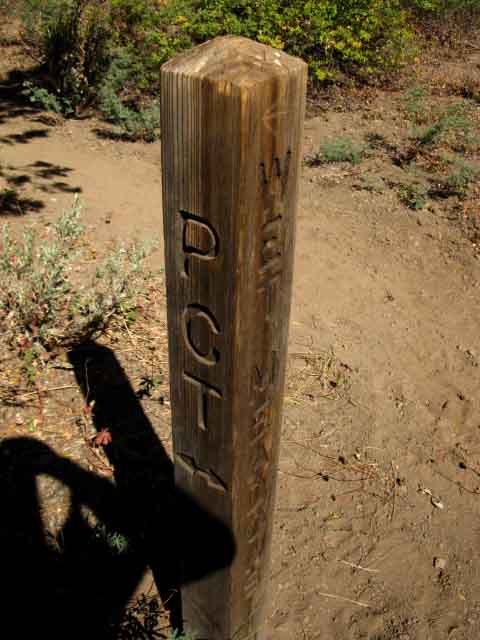
Mokelumne Wilderness Boundary
|
| Wet Meadow Reservoir trail Junction. The trail to the Reservoir heads Southwest from the Pacific Crest Trail | ||
 |
||
South of this junction interventions by dirt roads decline, as we are coming to the next Mokelumne Wilderness Boundary.
|
Mokelumne Wilderness
again and again
| The next, yet another Mokelumne Wilderness Boundary. |
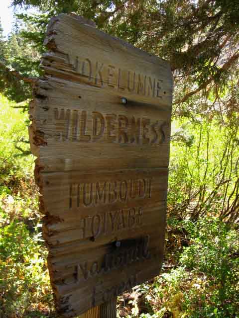 |
This one sits a mere 600 feet South of the Wet Meadows Reservoir Trail Junction. Paper Maps Online has the National Forest Mokelumne Wilderness Map online showing this complex wilderness boundary. |
North: Forestdale Divide to Blue Lakes Road South: Mokelumne Wilderness Boundary to Raymond Lake
Blue Lakes Road |
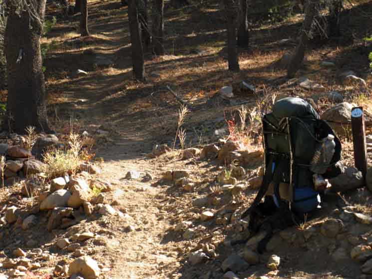
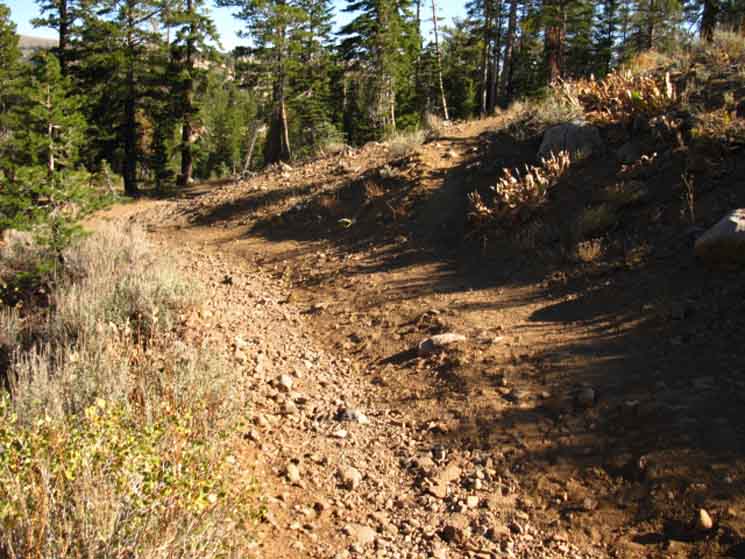
This short 4 mile section of trail between Blue Lakes Road to the Mokelumne Wilderness Boundary South of the Wet Meadows Reservoir trail junction is the wettest and most shaded segment of the trail between Carson Pass and Ebbetts Pass. As this part of the trail has the most water, and car access is possible from the Blue Lakes, so too it contains the most campsites, and it is likely you will end up camping near one of these little lakes while hiking between Carson Pass and Ebbetts Pass. The reason this section features water and campsites is that it is marked by a series of fine little lakes set in this gently rolling forested terrain. This section's nice forest cover is welcome protection from the exposed trails both North and South of this length of cool trail. Thus each time I pass through this section I generally end up camping along one of the lakes in this section of the route between Carson and Ebbetts Passes. Backpackers who are planning to hitch West down Highway 4 to resupply at Lake Alpine may want to camp as close to Ebbetts Pass and Highway 4 as possible, to get an early start for their short hitch down to the Lake Alpine Lodge the next day. In that case you are going to want keep pushing 11.8 miles further South from the wilderness boundary here to camp at Upper or Lower Kinney Lakes. A brief hike 1.36 mile hike South separates the Kinney Lakes from Ebbetts Pass on Highway 4.
7.5 Topo hiking Map 30 min Topo hiking Map Note: |
Backpacking Trail Guide North Forestdale Divide |
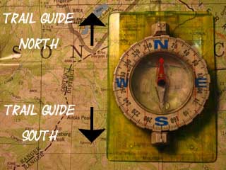 |
Backpacking Trail Guide South |
Backpacker ForumsHave a great Sierra Nevada route or trip to relate?Post it on
|
North: Forestdale Divide to Blue Lakes Road South: Mokelumne Wilderness Boundary to Raymond Lake
Trailhead
Contact
Alex Wierbinski

Backpacking Lake Tahoe to Mount Whitney
Your guide to the High Sierra Crest, including the Tahoe to Yosemite, Pacific Crest, and John Muir Trails
